
Tenaya Lake Basin from Above Olmsted Point
Yosemite High Country: Scrambling Above Olmsted Point to View Tenaya Lake
Back in September of 2013, I was carrying a full Nikon kit instead of my beloved Olympus gear. I didn't stay with Nikon for long—I’ve had a long history with Olympus cameras, and their build, handling, and light weight fit my style of landscape photography so much better. In fact, if you're curious about why I ultimately returned to Olympus and stick with them today, I posted a detailed write-up on my blog last week that covers all the specifics. On this particular trip, I was driving through Yosemite National Park along Highway 120 (Tioga Pass Road). I wasn't heading down into the crowded Yosemite Valley; I was heading out on another road trip, and cutting over the Sierra crest via Highway 120 is easily the most scenic and efficient route for me.
Whenever I pass through, I usually pull over at the Olmsted Point overlook to inspect the conditions and see what the light is doing. But rather than staying in the crowded parking lot with the rest of the tourists, I spent time scrambling up and across the exposed granite domes on the other side of the highway. If you work your way high enough and head slightly east across those bare, glaciated slopes, you get an elevated, unobstructed perspective looking straight down the basin toward Tenaya Lake. Nestled in its glacial bowl surrounded by towering granite domes, the lake sits at an impressive elevation of 8,150 feet above sea level.
Geology and History of Yosemite's High Country Lake
Tenaya Lake was carved out during the last ice age by the massive Tenaya Glacier, which flowed straight out of the Tuolumne Ice Sheet. Interestingly, this same branch of ice carved out the sheer face of Half Dome further down the canyon. The indigenous Ahwahneechee people originally called this body of water Pie-we-ack, which translates to "Lake of the Shining Rocks"—a fitting name given how the smooth, light-colored granite walls reflect light across the water. It was later renamed by the Mariposa Battalion after Chief Tenaya of the Ahwahneechee.
Leaving the Park Toward Mono Lake and Beyond
After coming down from the granite scramble and securing this frame, I continued along Highway 120 as it skirts directly along the northern shoreline of Tenaya Lake. From there, the road climbs further up past Tuolumne Meadows before leaving the park through the eastern entrance. After leaving the park and traversing about a 12-mile downgrade, dropping 2,000 or 3,000 feet, you'll come to that Mobil gas station on the right-hand side, which has such great food. I've talked about it before, but I really can't recommend it enough. From there, it's on to Lee Vining, Mono Lake, and beyond to experience more new adventures.
Explore More of My Adventures
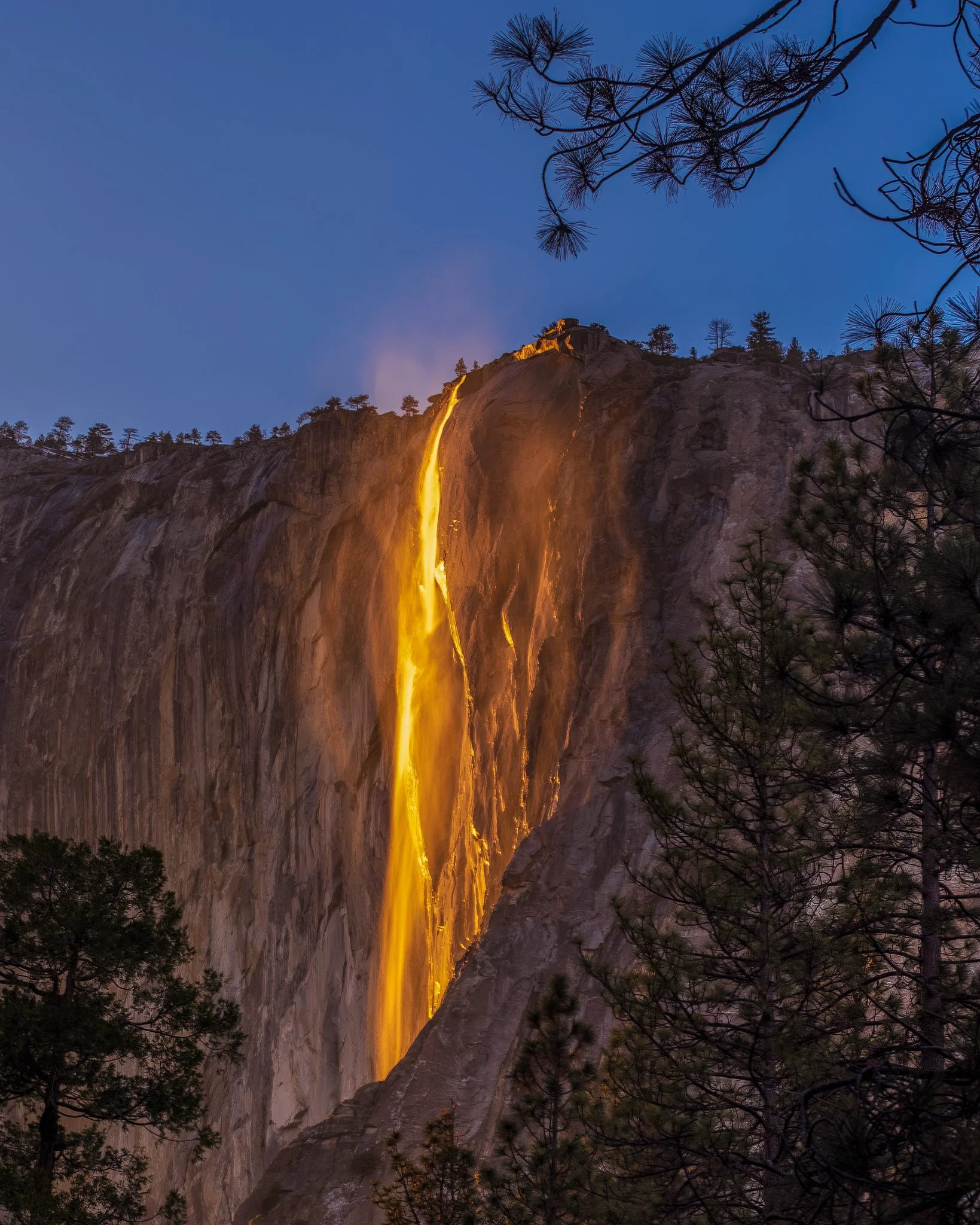
Scrambling off the paved trail at Olmsted Point revealed a stunning, elevated view of Tenaya Lake framed by Yosemite's iconic granite domes. Click to read the full story and photography details!